Hi, I’m Libby, and I’m stepping out into the world of illustration, like a kid in a sweet shop, I want to try everything 🤩 This blog provides me (and perhaps you) with monthly accountability to goals and details all the things that are helping me reach them. I’m so happy you could join me for the bumpy ride…
illo there friends!
Today I’m launching the first illo there! portfolio brief - a monthly project to help me (and perhaps you) build an illustration portfolio to attract paying clients.
In the last few weeks, I’ve begun discussing an exciting new project with a new client and friend that involves an illustrated map. So I thought this would be a great opportunity to make MAPS the first illo there! brief and practice my map-making skills.
The (believable*) brief
Visit London (formerly the London Tourist Board) is looking to promote London tourist spots along the River Thames this Summer. They are launching the ‘Thames Weekend’ and require a walking map for tourists displaying at least 10 major tourist destinations along the river during a weekend event.
The map should be aimed at families and suitable for children aged between 5 and 12 and must include the following 5 destinations:
The Tower of London
The London Eye
The London Dungeon
HMS Belfast
SEA Life London
5 others can be chosen by the illustrator.
The event will be held on 9th-10th of August.
The map should be A4 size (or US letter 8.5x11 inches) and will be given out at tourist information spots throughout the city in the lead-up to the event.
The map can be single or 2-sided colour. The team are quite open to ideas of how the map is represented but it must feature red and white and the Visit London website can be used for reference.
*This is a believable brief that has been made up to enable the creation of an illustration suitable for a portfolio and isn’t associated or affiliated with Visit London. The event mentioned is also fictional :)
Things to think about
Accessibility - Are there ways to make the map more accessible for people with visual impairments or disabilities affected by mobility?
Form - Should the map be folded? If so, down to what size? Will this influence the design?
Medium - will the map be made using digital (Procreate/Photoshop) or analogue (paint/pen/pencil) techniques or a mix of both?
Switch-up options
Here are some things you could change to make the brief fit your personal portfolio better:
Destination - the map could be of your home city or one you’ve been wanting to visit
Theme - the map could be themed for a different season: Halloween or Christmas for example
Client - the map could be branded for a new brand or product launch
Consumer - the map could be targeted at adults instead of children
Confession Time - I have never made an illustrated map! So I’m going to be learning as I go. I’m assuming that might be the case for you too. Here are some resources I will be considering using:
Resources
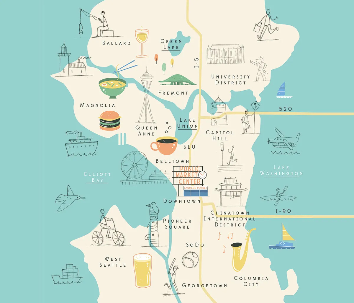
FREE Blogs
FREE Youtube videos
Doodle Therapy: Illustrating Maps - Catherine Madden & Alice Lee - 2 illustrators in 1! This looks like a very cool Youtube channel I’ll be looking into further!
Skillshare courses
Paid-for courses you may want to try with a Skillshare subscription:
Inky Maps! Illustrate a Beautiful Map Using Digital and Analog Media - Tom Froese
Illustrated Maps in Procreate - Peggy Dean
Illustrated Maps on Your iPad in Procreate + 18 FREE Stamps and Brushes - Liz Kohler-Brown
Project Timeline
There will be 3 stages of the project:
Week 1: Research & initial sketches (pencil sketch) 1st-7th
Week 2: 3x concepts for the client (black line) 8th-14th
Week 3: Final (colour in any medium) 15th-21st
There will be 3 separate Substack chat threads where you can share your progress if you are interested in joining.
If you are subscribing via email, chat is a feature on the Substack website (and app) where all subscribers to a specific publication can chat with each other.
These chat threads will be free and open to anyone, to share the output from each stage:
Research
Concepts
Final
This way you can follow or join in at any point through the month.
Access the illo there! chat thread here.
For a bit of fun, I’ll initially use a random number generator to emulate the client's decision of the concept they like best and maybe throw in some generalised client comments to shape the final piece.
Maybe chat participants could vote on the best at this stage but I have a feeling I might be going solo for a few months so the generator will have me covered!
I'll also be using a Google calendar to keep me right with the deadlines which you are welcome to subscribe to here.
Report-out
You can follow along in the Substack chat as the month progresses. I’ll then aim to provide a summary of the project work shared in the chat in next month’s (June) portfolio brief email.
I’m really open to questions and ideas to make these briefs better so feel free to comment or reply with anything that comes to mind!
Don’t forget I’ll also be posting my usual monthly blog of what I’ve been up to around the 21st of the month here. You can catch up on my previous posts in the meantime.
Have a great month of May and maybe I’ll see you in the chat!
Libby


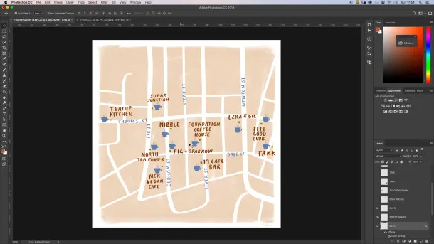
Hi Libby, thank you for listing my step-by-step guide on your post!
Good luck on this project and your brief is very believable :) As you mentioned into a note, making an illustrated map that's clearly understandable and give a sense for orientation for a destinations is way more complex than doing a fun illustrated map for a poster or a magazine. You have to really think of a way to clearly identify the different types of interests and stay creative with your illustrations, usually these are the things that you have to discuss with the client as they may have to make compromises based on your insights.
I'll follow to see what you come up with :) And congrats on this new journey of a career change, you're on the right path from what I saw :) Don't hesitate to reach out if you want.
Greg
PS: I've been a TrustedHouseSitter member for 8 years now, was a full time sitter until 2020 and now do a few sits every year, best experience ever! ENjoy it!
I love seeing illustration maps but never had the urge to make one, I think the idea of measuring or calculating something makes me ran away from the idea, lol!
Great resource and looking forward to seeing your process.